Back to homeGet it on Google Play
Land Surveying
Turn your smartphone into a land surveying and field mapping tool, with direct export to CAD and GIS.
Android
Available on Google Play
Free
Tools category
From the Field to CAD Without Detours
Accurate Point Capture
Record coordinates with altitude and GPS accuracy per point
Track as You Walk
Record lines and polygons in real time as you cover the area
Universal Export
KML, GeoJSON, DXF and Shapefile straight from the phone
Organised Work
Each project keeps its own points and tracks
A Full Survey in Your Pocket
- Coordinates in decimal, DMS and UTM on the same screen
- Altitude and estimated accuracy shown for every point
- Route recording with tracking mode
- Photo attached to a point to document the site
- KML export for Google Earth
- DXF export for AutoCAD, in UTM metres
- GeoJSON and Shapefile export for QGIS and ArcGIS
- Points and tracks displayed on the map
Who It's For
Engineers, surveyors, technicians and designers who need to survey an area and hand over a file ready for the office software.
Boundary Surveys
Marking areas, plots and rural perimeters
Infrastructure
Route mapping and field inspections
Environmental Projects
Georeferenced data for studies and permitting
Take a Look at the App
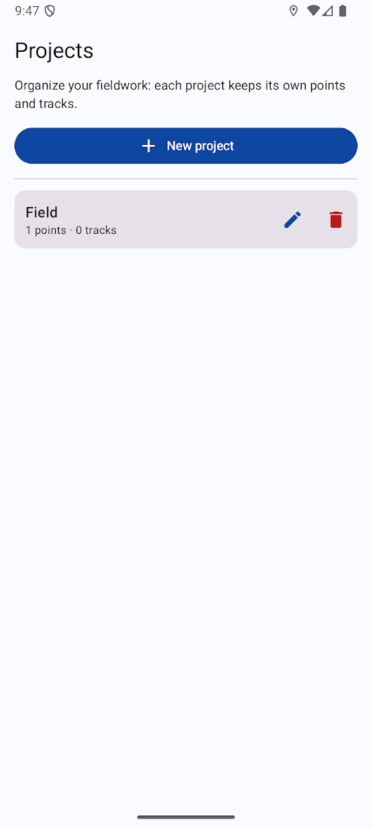
Projects
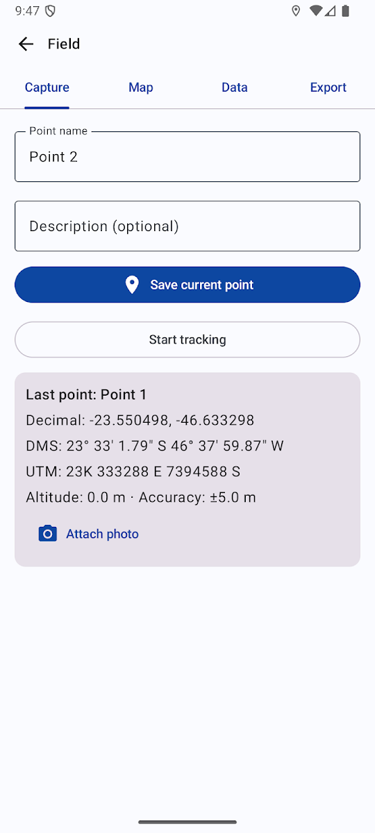
Point capture
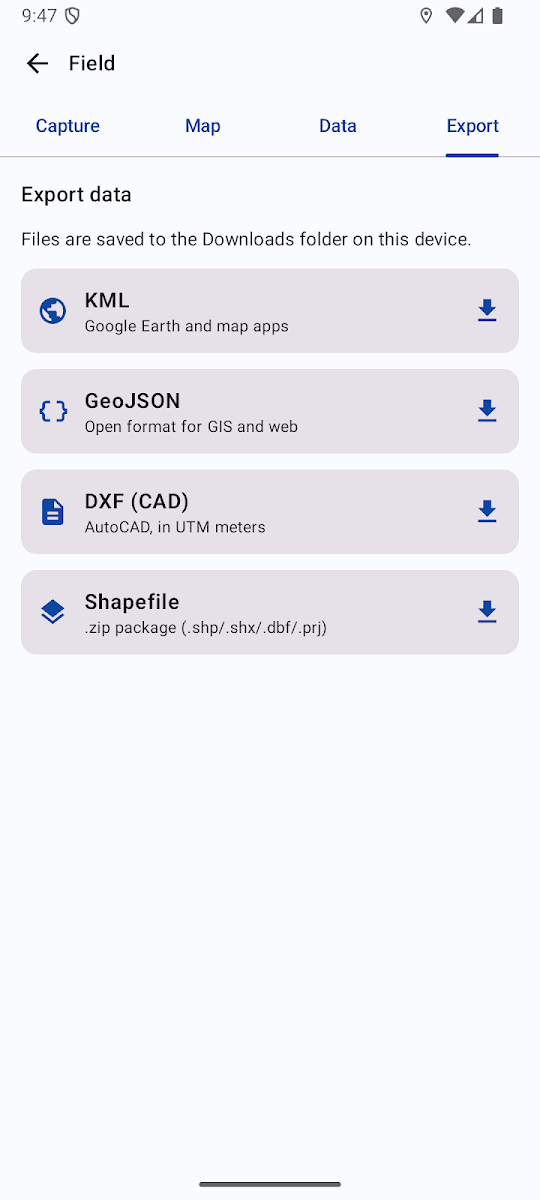
Export